| CPC G06F 30/23 (2020.01) [G06F 30/13 (2020.01); G06T 7/10 (2017.01); G06T 17/205 (2013.01); G06T 2207/20152 (2013.01)] | 16 Claims |
|
1. A computer-implemented method for civil engineering, the method comprising:
obtaining a mesh representing a terrain and a polyline on the mesh; and
computing a contributor of the polyline, the contributor being a set of mesh points that represents points of the terrain from which water necessarily flows toward a terrain point represented by a point of the polyline, the computing of the contributor including:
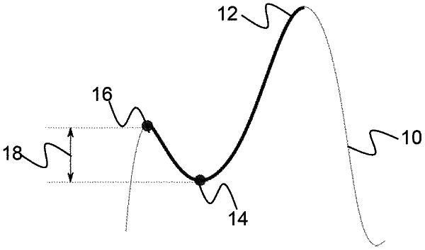
modifying the mesh by determining, based on the polyline, a trench below the polyline,
computing a watershed segmentation of the terrain based on the modified mesh, and
based on the computed watershed segmentation, identifying, on the modified mesh, a basin including the trench, the contributor corresponding to the identified basin.
|