| CPC B64C 39/024 (2013.01) [G08G 5/0008 (2013.01); G08G 5/0013 (2013.01); G08G 5/0043 (2013.01); G08G 5/0069 (2013.01); B64U 2101/00 (2023.01); B64U 2201/102 (2023.01)] | 11 Claims |
|
1. A method for coordinating an aerial search among unmanned aerial vehicles, the method comprising:
receiving from a device, by a server in an unmanned aerial vehicle (UAV) transportation ecosystem, search area data including a set of global positioning system (GPS) coordinates, a type of UAV, and a time limit;
generating, by the server based on the set of GPS coordinates, a search area polygon;
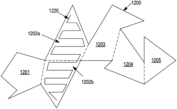
determining, by the server, that vertices of the search area polygon define two or more monotone polygons;
partitioning, by the server, the search area polygon into two or more monotonic partitions in accordance with the two or more monotone polygons;
determining, by the server, a total number of UAVs needed to complete a sweep search of the two or more monotonic partitions within the time limit based on UAV parameters of the type of UAV, wherein the UAV parameters include a maximum speed for the type of UAV, a maximum runtime for the type of UAV, and a power consumption relationship between speed and runtime for the type of UAV;
generating, by the server based on the total number of UAVs needed, UAV route instructions for executing a sweep search path in each of the two more monotonic partitions; and
controlling, by the server, a set of UAVs in performing a coordinated aerial search of the two or more monotonic partitions based on the UAV route instructions, the set of UAVs having the total number of UAVs needed to complete a sweep search of the two or more monotonic partitions within the time limit.
|