| CPC G01S 15/89 (2013.01) | 20 Claims |
|
1. A method for dynamically updating a contour map associated with a body of water, the contour map including water depth values of the body of water, the method comprising:
loading a pre-existing contour map of the body of water, the pre-existing contour map including a water depth value at a plurality of positions within the body of water and a plurality of contour lines;
causing display of the contour map on a display;
determining a location within the body of water;
determining, from the pre-existing contour map, a first water depth value at the determined location within the body of water;
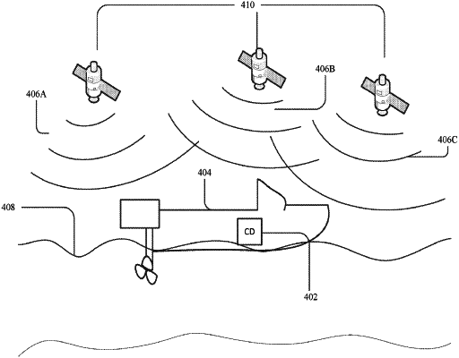
determining, from at least one of a global position system (GPS) altitude signal, an online database that provides periodic updates regarding the water depth values of the body of water, or tide levels, a second water depth value at the determined location within the body of water;
determining that there is a difference between the first water depth value and the second water depth value at the determined location; and
updating, on the display and based on the difference, the contour map for the body of water to indicate the difference at the determined location by replacing the first water depth value with the second water depth value at the determined location while maintaining the plurality of contour lines.
|