| CPC G01C 21/203 (2013.01) [B63B 49/00 (2013.01); B63B 79/00 (2020.01); B63B 2201/02 (2013.01); G01C 21/20 (2013.01)] | 19 Claims |
|
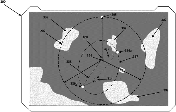
1. A system for indicating a navigable area that is reachable on a current amount of energy for a watercraft, the system comprising:
a display;
a processor; and
a memory including a computer code configured to, when executed by the processor, cause the system to:
receive position data indicating a current geographic location of the watercraft on a body of water;
receive an indication of an end point different from the current geographic location of the watercraft;
determine tidal data for the current geographic location of the watercraft indicating an effect of the tide on the watercraft;
determine, based on energy remaining data corresponding to at least one of an amount of fuel or an amount of charge remaining, an estimated available travel distance for operating a motor of the watercraft before the watercraft runs out of energy;
generate an overlay for a chart, wherein the overlay comprises a boundary area on the chart, wherein the boundary area corresponds to the estimated available travel distance and the effect of the tide on the watercraft; and
present the overlay on the chart to visually communicate the boundary area to indicate travel options for the watercraft from the current geographic location;
wherein the estimated available travel distance is further based on the watercraft reaching the end point such that the watercraft can reach any point within the boundary area and still have enough energy to return to the end point, and
wherein the overlay indicates the travel options of the watercraft from the current geographic location to other locations while still being able to travel to the end point.
|