| CPC G06T 17/05 (2013.01) [G06T 7/80 (2017.01); G06T 2207/30244 (2013.01)] | 7 Claims |
|
1. A method for generating a photogrammetric corridor map from a set of input images by recovering a respective pose of each image, wherein a pose comprises a position and an orientation information of an underlying camera, the method comprising:
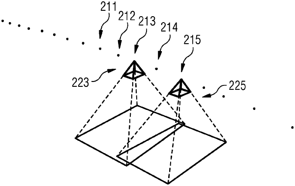
a) receiving a set of input images acquired with a camera along a corridor flight path and a corresponding set of input camera positions, acquired with a receiver of a global navigation satellite system (GNSS),
b) defining as a working set the subset of input images for which corresponding pose has not yet been recovered,
c) initializing an image cluster by:
c1) incrementally recovering pose for images from the working set until pose for at least three images has been recovered and such that not all recovered camera positions are collinear using a method for classical incremental Structure from Motion pipeline,
c2) computing a similarity transformation transforming the recovered camera positions to the corresponding input camera positions, and
c3) applying the similarity transformation to the recovered camera poses in the image cluster,
d) further growing the image cluster by:
d1) selecting one image from the working set that features overlap with at least one image already in the image cluster,
d2) adding the image to the image cluster by recovering, via camera resectioning, the pose of its underlying camera relative to the camera poses corresponding to the images already in the image cluster,
d3) when at least a predefined number of images have been added since the last invocation of a GNSS bundle adjustment algorithm, performing the GNSS bundle adjustment algorithm to minimize reprojection errors and residuals between the recovered camera positions and input camera positions and to refine the poses of the image cluster, and
d4) when there remain images in the working set that feature overlap with at least one image already in the image cluster, continuing with step d1); otherwise, continuing with step e),
e) when there remain images in the working set, continuing with step b); otherwise, continuing with step f),
f) generating and providing as output the corridor map using the recovered camera poses.
|