| CPC G01S 17/89 (2013.01) [G01C 7/02 (2013.01); G01S 7/4817 (2013.01); G01S 7/484 (2013.01); G01S 7/4863 (2013.01); G01S 7/4865 (2013.01); G01S 7/487 (2013.01); G01S 7/499 (2013.01); G01S 17/10 (2013.01); G01S 17/42 (2013.01); G01S 17/93 (2013.01); Y02A 90/30 (2018.01)] | 20 Claims |
|
1. A method of mapping a surface topography, comprising:
generating a pulse of polarized light;
scattering at least some portion of the pulse of polarized light onto a first surface and a second surface;
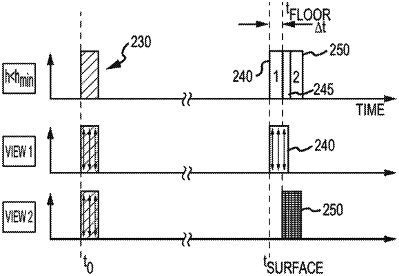
receiving the scattered light from the first surface and the second surface as a received pulse, wherein the received pulse has one or more portions that overlap in an ambiguous intrapulse overlap portion;
separating the ambiguous intrapulse overlap portion into a first component associated with the first surface and a second component associated with the second surface, the first component and the second component having a relative difference in polarization between each other, wherein the separation removes the ambiguous intrapulse overlap portion;
determining an amount of time elapsed between the first component and the second component; and
calculating a relative distance between the first surface and the second surface based on the amount of time elapsed, thereby achieving a sub-pulse width resolution.
|