| CPC G08G 5/025 (2013.01) [B64D 47/08 (2013.01); G01C 5/005 (2013.01); G07C 5/0808 (2013.01); G08G 5/0013 (2013.01); G08G 5/0021 (2013.01); H04L 9/0872 (2013.01)] | 17 Claims |
|
1. A computer-implemented method, comprising:
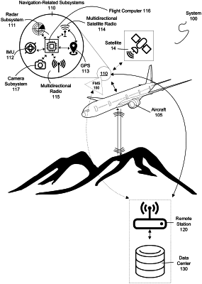
monitoring a status of an aircraft in operation by determining position data of the aircraft in relation to a landing site, the position data of the aircraft determined by a navigation-related subsystem on the aircraft;
in response to the status satisfying a condition, performing, by the navigation-related subsystem on the aircraft, a localization cross-check procedure to cross-check the position data of the aircraft determined by the navigation-related subsystem on the aircraft, comprising:
receiving, by the navigation-related subsystem on the aircraft, a radiofrequency signal from a ground based transponder grid that is separate from the aircraft;
estimating, by the navigation-related subsystem on the aircraft, a position of the aircraft in relation to the landing site based on a time-of-flight analysis of the radiofrequency signal received from the ground based transponder grid; and
cross-checking, by the navigation-related subsystem on the aircraft, the position data of the aircraft determined by the navigation-related subsystem with the estimated position of the aircraft in relation to the landing site that is estimated based on the radiofrequency signal received from the ground based transponder grid;
updating, by the navigation-related subsystem on the aircraft, one or more protection levels of the aircraft including a horizontal protection level of the aircraft and a vertical protection level of the aircraft based on the cross-check of the position data of the aircraft and the estimated position of the aircraft that is performed by the navigation-related subsystem on the aircraft, wherein the horizontal protection level is a radius of a circle in a horizontal plane with the aircraft being at the center of the circle and the vertical protection level is the radius of the circle in the vertical plane; and
based on the updated one or more protection levels, generating an updated set of instructions for operational control of the aircraft.
|