| CPC G06Q 50/265 (2013.01) [G06F 16/248 (2019.01); G06F 16/252 (2019.01)] | 12 Claims |
|
1. A system for prioritizing leak surveys of one or more pipeline runs and facilities associated with an underground natural gas distribution pipeline potentially impacted by a seismic event, the system comprising:
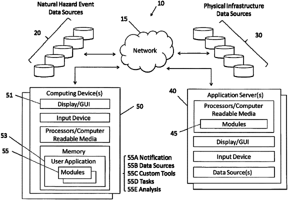
at least one computing device including a microprocessor and associated software in communication with a network, the at least one computing device including a graphical user interface, the associated software adapted to:
transform ground velocity data of a seismic event occurring within a selected service territory defined by a user into a quake velocity map and store the quake velocity map as a quake velocity map layer, the transform including applying a blasting standard, the quake velocity map including relational spatial data corresponding to the blasting standard;
retrieve, from a pipeline mapping system database, locations of the one or more pipeline runs and pipeline facilities lying at least partially within the selected service territory and store the locations as pipeline map layer;
display on the graphical user interface of the at least one computing device a map of the selected service territory, the map including the quake velocity map layer and the pipeline map layer, the quake velocity map layer having a first shading or first color, the pipeline map layer having a second shading or second color different than that of the first shading or first color, each map layer being visible when overlaid on one another;
permit the user to define a spatial polygonal area of interest on the map;
send a first notice to at least one mobile computing device in communication with the network if a first portion of the one or more pipeline runs and pipeline facilities falls within the user-defined spatial polygonal-shaped area of interest on the map and the relational spatial data in proximity to the first portion represents a ground velocity of less than 5 cm/sec;
send a second notice different from the first notice if a second portion of the one or more pipeline runs and facilities is contained within another user-defined spatial polygonal-shaped area of interest on the map and the spatial relational data in proximity to the second portion represents a ground velocity of at least 5 cm/sec.
|