| CPC G06Q 30/018 (2013.01) [B60W 40/10 (2013.01); G01C 21/3407 (2013.01); G01C 21/3626 (2013.01); G01S 19/42 (2013.01); G06Q 10/30 (2013.01); G06Q 50/26 (2013.01); G07C 5/008 (2013.01); B60W 2520/00 (2013.01)] | 4 Claims |
|
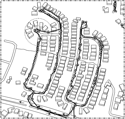
1. A method of identifying a container location for a customer on a service route for a waste or recycling service vehicle, the method comprising:
collecting location information for the waste or recycling service vehicle during a plurality of time intervals as the service vehicle travels along a street of the service route, wherein the location information comprises a plurality of GPS pings collected using a global positioning system (GPS) associated with the waste or recycling service vehicle;
projecting the plurality of GPS pings to digital street network data associated with the service route, wherein the plurality of GPS pings are projected in a vector format;
enabling a determination of a speed of the waste or recycling service vehicle and a direction of the waste or recycling service vehicle in the vector format based on the projected GPS pings;
determining a vehicle stop point on the service route by identifying where two or more consecutive-in-time GPS pings have the same geographical latitude and longitude position;
identifying any GPS pings projected to the street network data that are more than a threshold distance from the street network data;
grouping the identified GPS pings into an out-of-street group;
associating the vehicle stop point with the out-of-street group; and
designating the container location for the customer at the vehicle stop point.
|