| CPC G08G 1/20 (2013.01) [G01C 21/26 (2013.01); G01S 19/51 (2013.01); G08G 1/0125 (2013.01)] | 20 Claims |
|
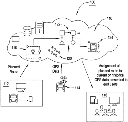
1. A computer-implemented method of pairing GPS data to planned travel routes comprising:
obtaining, by one or more processors communicatively coupled to a memory, travel route information from the memory representative of one or more planned travel routes, wherein each planned travel route of the plurality of travel routes represents a preplanned route designated to be traveled by a mobile object, wherein the travel route information for each planned travel route of the one or more planned travel routes comprises a given number of predefined geographic locations on each planned travel route, and a direction of travel;
continuously obtaining, by the one or more processors, GPS data comprising GPS coordinates, wherein the GPS coordinates represent positions of the mobile object, each position being at a given point in time, and wherein the mobile object is in motion;
comparing, by the one or more processors, the GPS data to the travel route information, wherein the comparing comprises:
determining if GPS coordinates fall within a buffer distance from a planned travel route of the one or more planned travel routes; and
based on determining that the GPS coordinates fall within the buffer distance for the planned travel route of the one or more planned travel routes, determining, by the one or more processors, a level of GPS coordinates which fall within the buffer distance of at least one planned travel route of the one or more planned travel routes, the level corresponding to a percentage of GPS coordinates which fall within the buffer distance;
determining a direction of travel of the mobile object based on individually comparing the GPS coordinates to the given number of predefined locations for each route of the one or more planned travel routes;
designating, by the one or more processors, the mobile object as assigned to a planned travel route of the one or more planned travel routes if the level of GPS coordinates measured within a specified time period, which are within the buffer distance, is above a predefined threshold, and the direction of travel of the mobile object is the same as direction of travel of the travel information; and
based on the designating, displaying, in real-time, by the one or more processors, on a user interface information relating to the current position of the mobile object, wherein the information comprises the assigned planned travel route.
|