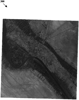
| CPC G06T 9/20 (2013.01) [G06T 7/90 (2017.01); G06V 20/13 (2022.01); G06T 2207/10032 (2013.01); G06T 2207/30181 (2013.01); G06T 2207/30184 (2013.01)] | 13 Claims |

|
1. A method for compressing map image data, the method comprising:
setting all pixels in the map image data having a pure black value of zero to a plus one value;
setting map border pixels of the map image data having a value less than a predetermined value to a value of zero;
setting the map border pixels of the map image data previously set to value of zero to a no data designation;
compressing the map image data using at least one predetermined compression scheme to create compressed map image data; and
translating the compressed map image data to a joint photographic experts group (JPEG) image formatted map image file.
|