| CPC G06T 7/11 (2017.01) [G06Q 10/06312 (2013.01); G06Q 10/06315 (2013.01); G06Q 10/06393 (2013.01); G06T 17/05 (2013.01); G06V 10/764 (2022.01); G06V 10/82 (2022.01); G06V 20/188 (2022.01); G06N 3/04 (2013.01); G06N 3/08 (2013.01); G06T 2207/10032 (2013.01); G06T 2207/30188 (2013.01)] | 18 Claims |
|
1. A system comprising:
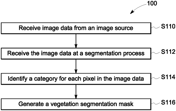
a vegetation module to receive image data from an image source;
a memory for storing program instructions;
a vegetation processor, coupled to the memory, and in communication with the vegetation module, and operative to execute program instructions to:
receive image data;
estimate a vegetation segmentation mask;
generate a 2.5D Digital Surface Model based on the received image data, wherein the 2.5D Digital Surface Model is a representation of a 3D point cloud as a 2.5D grid format and the representation is generated via a binning process that combines multiple depth images of a same area of interest to merge the multiple depth images into a single depth image;
estimate a relief surface using a digital terrain model, wherein the digital terrain model is a model of shapes of a terrain over a region and across a range of terrain types;
generate a vegetation masked digital surface model based on the digital terrain model, the vegetation segmentation mask and the 2.5D Digital Surface Model;
generate a canopy height model based on the generated vegetation masked digital surface model; and
generate at least one analysis with an analysis module, wherein the analysis module receives the generated canopy height model prior to execution of the analysis module, and wherein the analysis module uses the generated canopy height model in the generation of the at least one analysis.
|