| CPC G01S 13/885 (2013.01) [G01S 7/03 (2013.01); G01S 13/0209 (2013.01); G01S 13/865 (2013.01); G01S 13/867 (2013.01); G06T 7/70 (2017.01); H04N 5/76 (2013.01); H04N 23/60 (2023.01)] | 19 Claims |
|
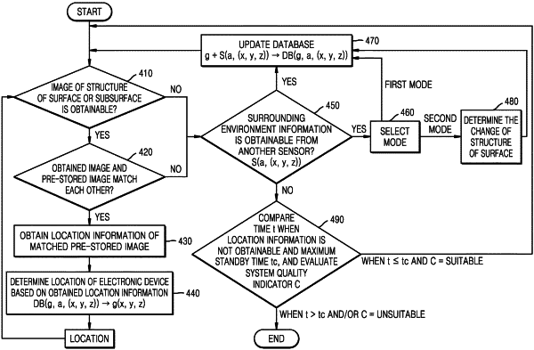
1. A method comprising:
emitting, by at least one processor of an electronic device, a first signal in a direction of a surface by using a first sensor;
based on the emitting of the first signal, receiving, by the at least one processor, a second signal reflected from a structure of the surface or a structure of a subsurface of the surface;
based on the second signal, obtaining, by the at least one processor, an image of the structure of the surface or the structure of the subsurface;
determining, by the at least one processor, whether there is a correlation between the obtained image and an image among at least one of images pre-stored in the electronic device, wherein each of the at least one of images pre-stored in the electronic device includes corresponding location information;
in response to determining that there is the correlation between the obtained image and the image pre-stored in the electronic device, determining, by the at least one processor, a location of the electronic device based on the corresponding location information included in the image pre-stored in the electronic device; and
in response to determining that there is no correlation between the obtained image and the at least one of images pre-stored in the electronic device, determining, by the at least one processor, the location of the electronic device by using surrounding environment information obtained through a second sensor, and storing, by the at least one processor, the obtained image including the determined location as the corresponding location information,
wherein the first sensor comprises at least one of a ground-penetrating radar (GPR) sensor or a surface-penetrating radar (SPR) sensor.
|