| CPC G06F 18/251 (2023.01) [G06F 3/0484 (2013.01); G06F 16/29 (2019.01); G06F 16/54 (2019.01); G06F 16/5866 (2019.01); G06N 20/00 (2019.01); G06Q 10/20 (2013.01); G06Q 50/26 (2013.01); G06V 20/52 (2022.01); G06V 20/584 (2022.01); G06V 20/588 (2022.01); G07C 5/008 (2013.01); G08G 1/052 (2013.01); G11B 27/34 (2013.01); H04N 7/18 (2013.01); G01C 21/3815 (2020.08); G01C 21/3848 (2020.08); G06Q 10/10 (2013.01); G06Q 40/08 (2013.01); H04L 67/12 (2013.01)] | 20 Claims |
|
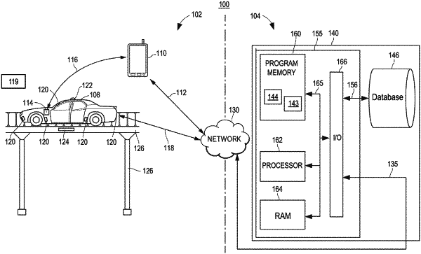
1. A computer-implemented method for synchronizing road segment parameters with images of a road segment to facilitate improved analysis of information about the road segment, the method comprising:
capturing, via an image sensor, a set of images of a road segment during a time-period;
detecting, by one or more processors, a plurality of road segment parameters associated with the road segment during the time-period, the plurality of road segment parameters being collected via one or more vehicle sensors or one or more infrastructure devices disposed proximate to the road segment;
timestamping, by the one or more processors, the set of images according to a first clock associated with the image sensor and the plurality of road segment parameters according to a second clock associated with the one or more vehicle sensors or the one or more infrastructure devices;
time-synchronizing, by the one or more processors, the set of images and the plurality of road segment parameters according to a common clock based on an occurrence of a common event represented in the set of images and the plurality of road segment parameters;
storing, by the one or more processors, the set of images and the plurality of road segment parameters such that the set of images and the plurality of road segment parameters are referenceable by a set of timestamps; and
analyzing, by the one or more processors, the set of images and the plurality of road segment parameters to identify one or more vehicle events, each characterized by a subset of the set of images and a subset of the plurality of road segment parameters.
|