| CPC G05D 1/0219 (2013.01) [G05D 1/0214 (2013.01); G05D 1/0217 (2013.01); G05D 1/0223 (2013.01); G05D 2201/0201 (2013.01); G05D 2201/0202 (2013.01)] | 18 Claims |
|
1. A method of area coverage planning for an autonomous vehicle, the method comprising, at a computer system:
receiving information of a boundary of a work area;
receiving information of a headland of the work area, wherein the headland has a headland boundary, wherein the headland is characterized by a headland guideline that is inside the headland and offset by a distance from the headland boundary, wherein the headland guideline further includes an entry route covering an off-road segment between an entry point and the headland;
receiving information of one or more obstacles located within the work area;
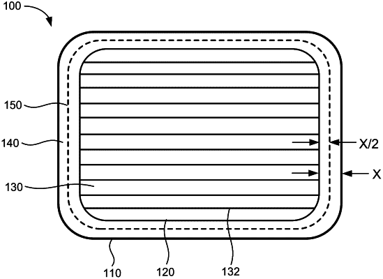
laying a plurality of tracks within the boundary of the work area, the plurality of tracks being spaced apart from each other by a spacing, wherein laying the plurality of tracks comprises:
based on (i) the information of the boundary of the work area, and (ii) the information of the one or more obstacles, performing a multivariate optimization to: (i) determine an optimal direction of the plurality of tracks, and (ii) an optimal offset for a first track from the boundary, so as to minimize a total distance of the plurality of tracks;
generating a headland pass along the headland guideline, the headland pass to be traversed by the autonomous vehicle before, after, or in between traversing the plurality of tracks;
associating each of the plurality of tracks and the headland pass with a respective unit cost;
generating a trajectory that covers the headland pass and is traversable by the autonomous vehicle to traverse the plurality of tracks, so as to minimize a total cost of traversing the trajectory;
determining a current position of the autonomous vehicle based on satellite signals that are received by a global navigation satellite systems (“GNSS”) antenna attached to the autonomous vehicle; and
guiding the autonomous vehicle to traverse along the trajectory based on the current position of the autonomous vehicle.
|