| CPC B60W 30/095 (2013.01) [B60W 30/09 (2013.01); B60W 40/06 (2013.01); B60W 10/04 (2013.01); B60W 10/18 (2013.01); B60W 10/20 (2013.01); B60W 2420/42 (2013.01); B60W 2420/52 (2013.01); G01S 17/93 (2013.01); G05D 1/0238 (2013.01); G05D 1/0246 (2013.01); G05D 1/0278 (2013.01)] | 20 Claims |
|
1. A computer-implemented method comprising:
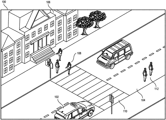
determining, by a computing system, one or more scenarios associated with a road segment based on sensor data captured by one or more vehicles;
determining, by the computing system, a threshold similarity between the road segment and a road segment type based on the one or more scenarios associated with the road segment matching a threshold number of scenarios included in a scenario type associated with the road segment type, wherein the matching is determined based on a multi-level scenarios taxonomy that classifies a plurality of scenario types with respective scenarios, wherein a first level of the multi-level scenarios taxonomy includes a set of the scenarios included in the scenario type and a second level of the multi-level scenarios taxonomy includes a subset of the set of the scenarios;
classifying, by the computing system, the road segment as the road segment type based on the threshold similarity;
providing, by the computing system, information describing the classified road segment and the scenario type to a computing device of a vehicle; and
causing, by the computing system, control of an operation of the vehicle based on the information.
|